Single Platform For All Your Spatial Solutions
First Title
Start your development with a Pixel Design System for Bootstrap 4. It is creative and it features many components that can help you create amazing websites.
Second Title
Start your development with a Pixel Design System for Bootstrap 4. It is creative and it features many components that can help you create amazing websites.

Third Title
Start your development with a Pixel Design System for Bootstrap 4. It is creative and it features many components that can help you create amazing websites.
Over 2000 DSPs
Network of 2000+ drone service providers network internationally
10+ services
Navigate through our services and book demos
100+ tutorials
We took the time to create tutorial videos to show you how GIS can be implemented
Our Services

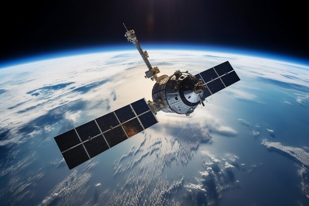
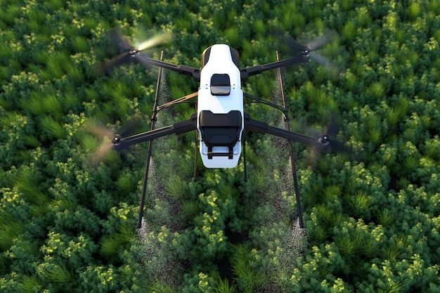
Drone Constellation
Need high resolution drone data? Book a Drone Service Provider for any place globally, select your ROI and place order to get your desired data.
Learn More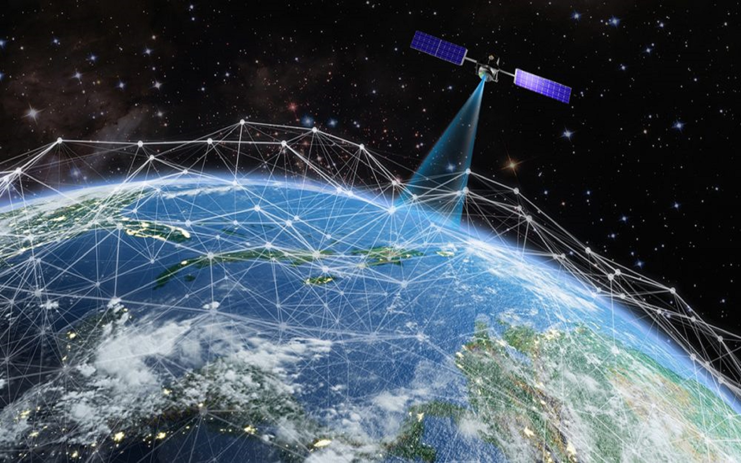
Raster E-commerce
Want to buy high resolution satellite data? Select your required satellite data, compare prices and place order at best prices for your ROI.
Learn More
Vector E-commerce
Looking for highly accurate digitized data like roads, rivers or building footprints? We have a team of experts to fulfill your vector data needs.
Learn More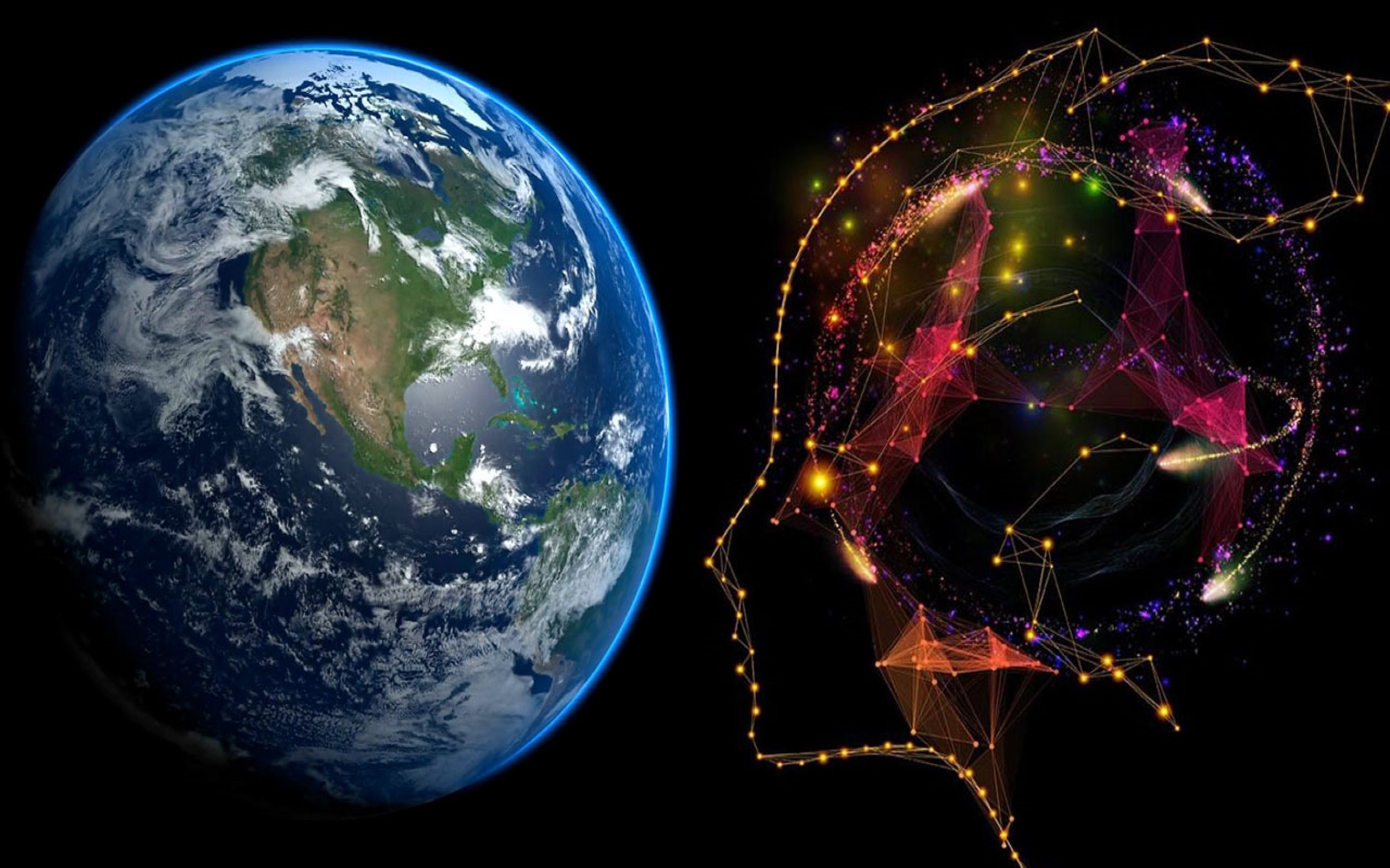
GeoAI Models Hub
Want to detect features automatically on your data? We are here to help you. Download the pretrained models from our GeoAI zoo and use it freely for your purpose. The models are free to use. Place your order to get a customized model as per your needs.
Learn More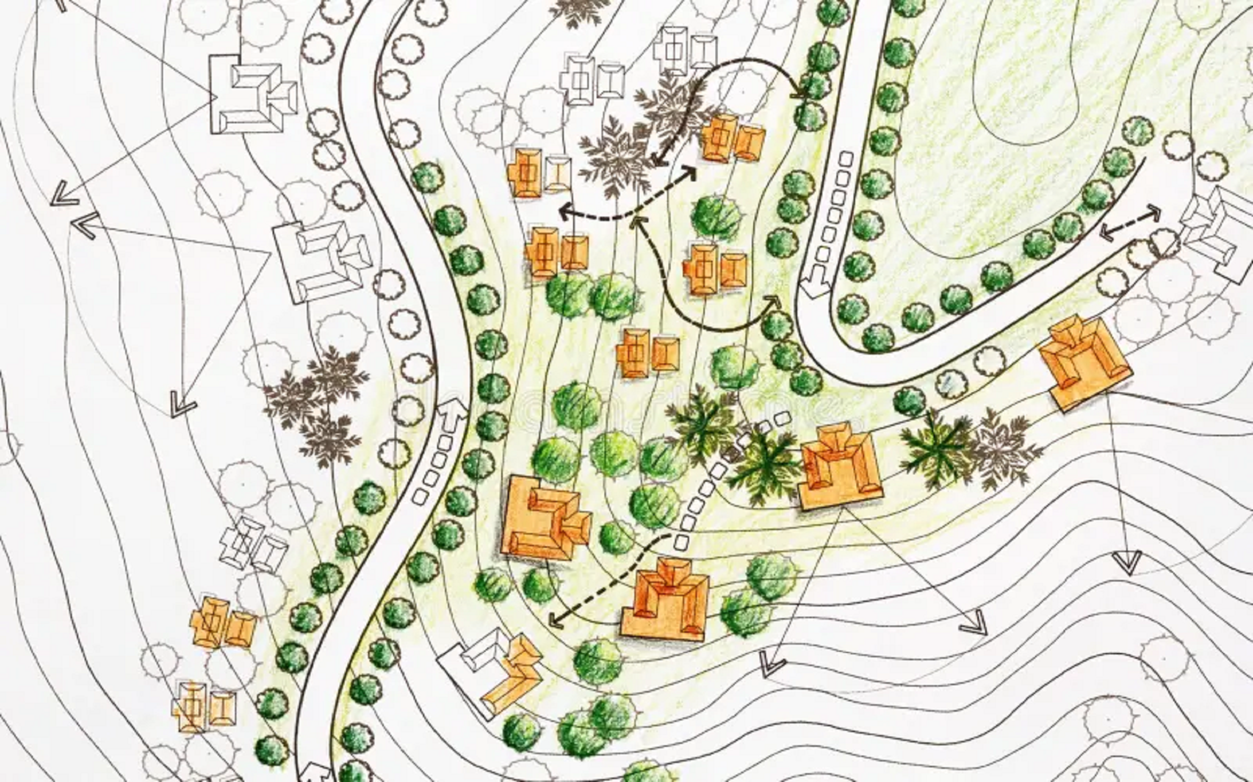
ArchGeo Hub
Are you an architect looking for site analysis data to understand your unseen site without going there? Or are you a certified GRIHA professional looking for automated site evaluation? We have all the data curated for you. Just select your region of interest and get all the data.
Learn More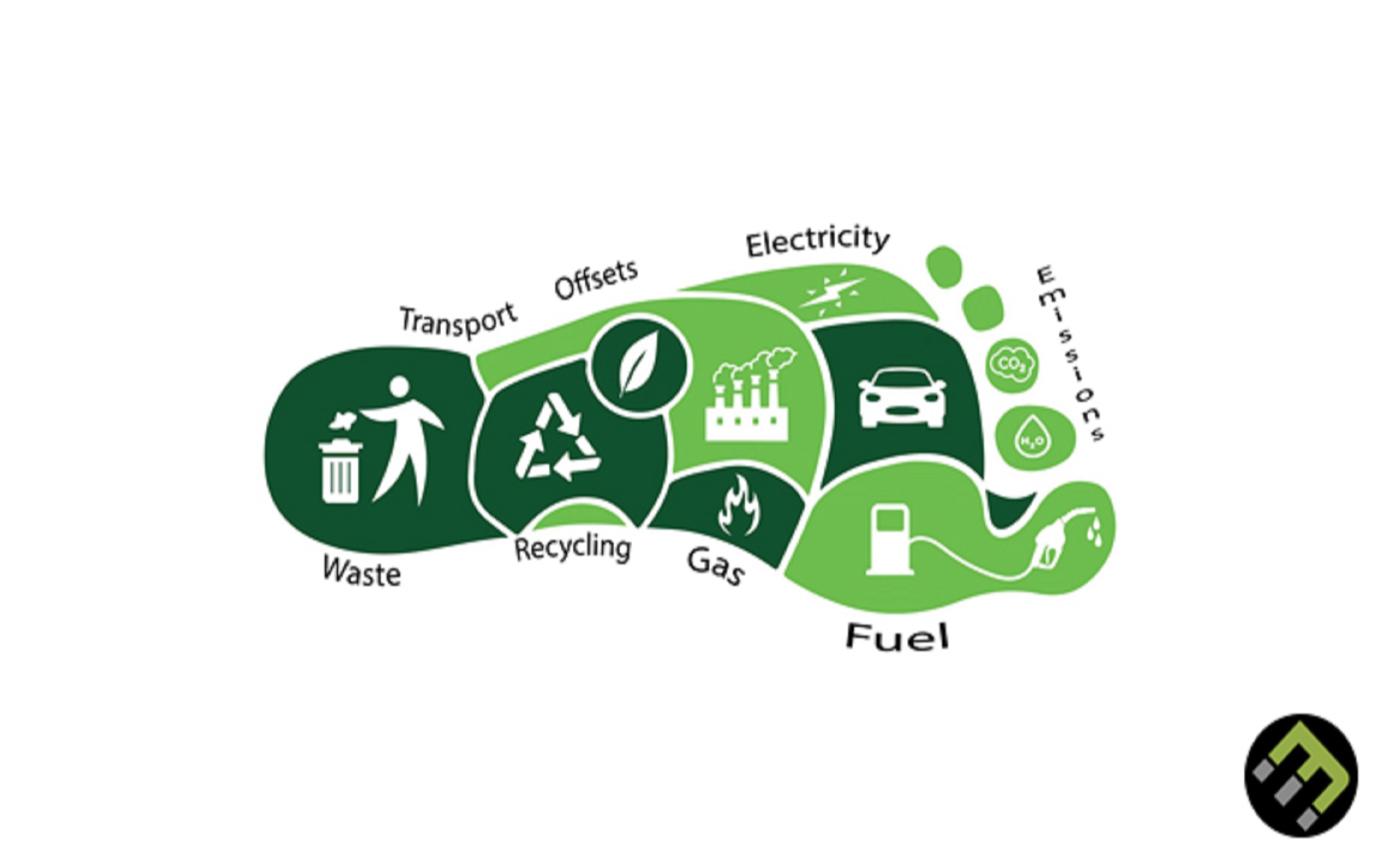
Carbon Footprints
Are you worried about the environment, climate change, increasing temperatures, air pollution etc? Need to calculate the carbon footprint generated by your company? We have the tool ready for you. Enter the required details and get your carbon footprint.
Learn MoreDeep dive into our website to know about the satellites revolving around our Earth, Moon and Mars from the first satellite launched and till date by our genious space agencies. Understand the type of data provided by them and their features.
We at Livgeo have developed various short term and long term certification courses to help the interested folks learn the geospatial skills. We are also on the way to provide these courses as diploma and master degrees. Stay tuned!
Come to this page to stay updated with the numerous geospatial happenings around the globe. Our team of experts keep a keen eye everywhere and collect geospatial current affairs for you for free.
Become one of us
Do you want to join our team and work remotely from anywhere you'd like? We can’t wait to hear from you!
Check Careers
Download our app in your phone
Download Livgeo app and take the first step to live geospatially.
| Satellite | Sensor | Agency | Year of Launch |
|---|---|---|---|
| First Year | D. Bolter | 5 | 4 |
| A. Cheetham | 7 | 9 | |
| Second Year | M. Lam | 3 | 9 |
| S. Crossy | 4 | 3 | |
| A. Forsyth | 6 | 9 |